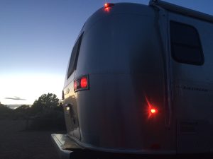
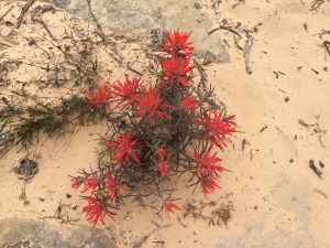
5/16 – Coral Pink Sand Dunes State Park – Utah
Arrived yesterday afternoon on a whim as Steve spotted this park on the map while planning our next day activities. We were en route to Brice Canyon National Park in order to up our batting average but decided to follow the paved road off Rt. 89 for 10 miles to this amazing place covered in pink/coral colored sand dunes.
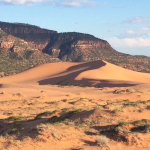
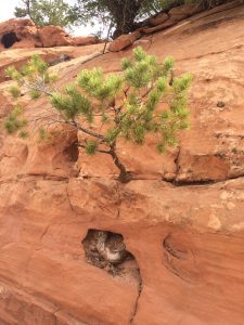
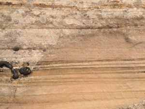
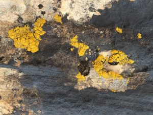
These active dunes source their sand from the Navajo Sandstone, 80 miles to the south. The Navajo itself is over 2,000 feet of consolidated sandstone deposited the Jurassic Period some 175 million years ago as massive sand dunes. So the sand in these active dunes has come full circle and the sand grains are once again in constant motion migrating over the current landscape (do you like these highly sophisticated geological vignettes? If not don’t read them next time as he makes me say this stuff and I’de rather leave them out).

We share the “overflow” camping area with two other rigs, a welcome respite from the more crowded campgrounds surrounding Zion and the Grand Canyon (not to mention Las Vegas). He tells me now we are now seeking out the places “in between”, i.e. in the millions of acres surrounding the great parks of southern Utah where the scenery is still spectacular but the crowds are thin (just like his hair – and skin sometimes). I like this new strategy.
5/17-18 – Bryce Canyon National Park
The scorecard improvement continues: RV shops 3 ; tire places 1; Las Vegas 1; National Parks 4; State Parks 1.
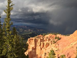
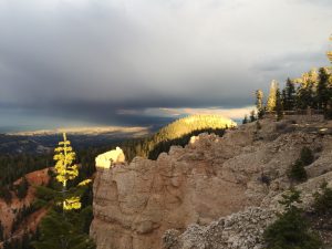
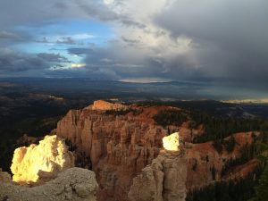
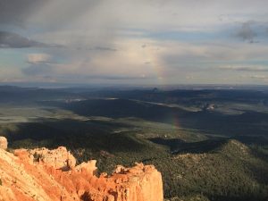
Crap, another national park. I know these places have incredible landscapes that draw visitors from around the world (just listen to the jabbering hoards getting off the tour busses and you’ll know what I mean) but they cramp my style with their no-dogs-on-trails restrictions. Luckily Bryce had recently installed a seven mile, paved, hiking and biking trail running just behind the rim trail – no views from this paved trail but that’s ok with me as long as there are bushes to pee on and small game to harass.
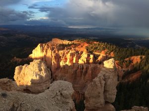
The geezers would tie Sky and me up to a tree and hike to the view points to ooh and ah at the rocks and take dozens of Iphone photos, most of which could have been shot by me they were so lame.
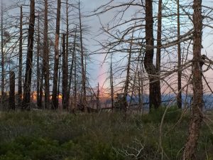
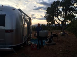
5/19 – BLM land off of Devils Rock Garden Road, 10 miles east of Escalante, UT
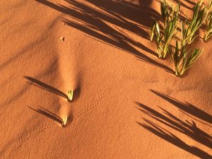
Yippie, back to the in-between country on BLM land which means I can be off leash around the trailer as there are no other campers within 5 miles of our spot. For you boat people reading this it’s like being anchored in a remote Bahamian island with not other boats in sight.
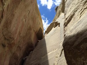
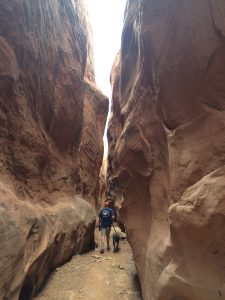
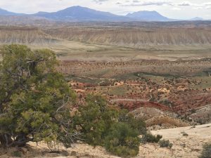
The Devils Rock Road cuts through a valley and ridge for 55 miles surrounded by spectacular scenery that gets the geo boys very excited. We spend 1.5 days driving and hiking in the area and get to see only about 15% of the good stuff; one could easily spend two weeks in this small region of Utah and see something new every day.
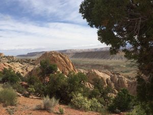
5/20 – BLM land off of Burr Trail Road, 12 miles east of Boulder, UT
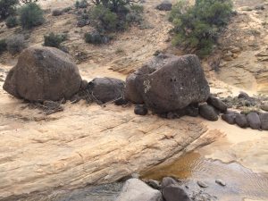
We drive 35 miles on Hwy 12 to the small town of Boulder, named for the large volcanic boulders strewn around the town that were deposited there during the melting of the glaciers 30-40,000 years ago. The boulders originated over 50 miles away and could only have been transported by massive glacier runoff capable of picking up rocks this size of trucks. I’m beginning to get the hang of this geology stuff, although it pales in comparison to chasing rabbits and chip monks around the campgrounds.
We launch off in Steve’s truck early in the morning bound for the southern entrance to Capital Reef National Park, making it the 5th NP visited on this trip, so the number of NP’s now is greater than the number of RV repair shops and tire stores (5 and 4 if you are keeping score at home), he seems to be getting his shit together…finally!